How to Do Balancing Rock
A bucketlist location!
Balancing Rock sits spectacularly atop a summit in Girraween National Park, in the Southern Queensland countryside. Added bonus – it’s located in Queensland’s premier wine region, Granite Belt Wine Country, with dozens of cellar doors plus foodie delights all within a half hour drive!
What a Rock!! #amazing
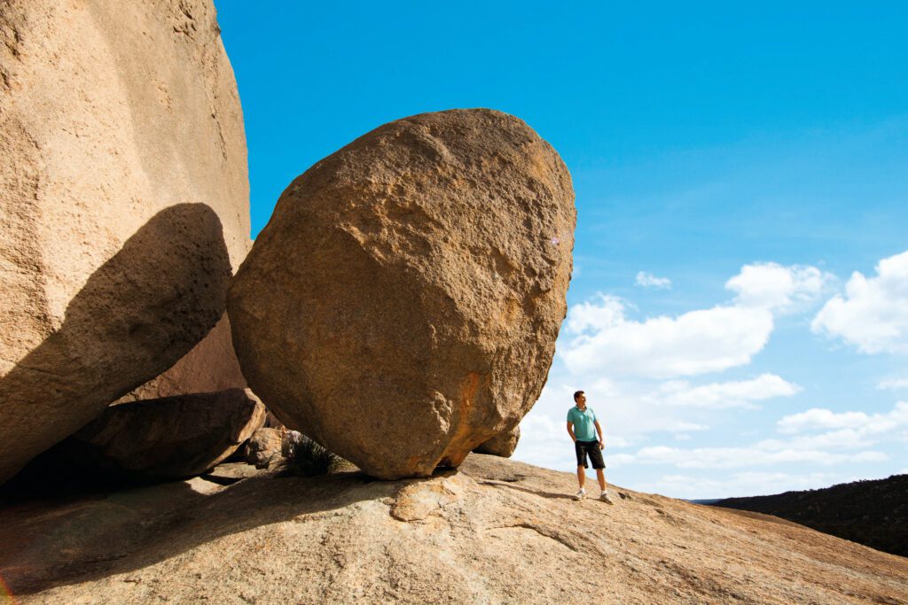
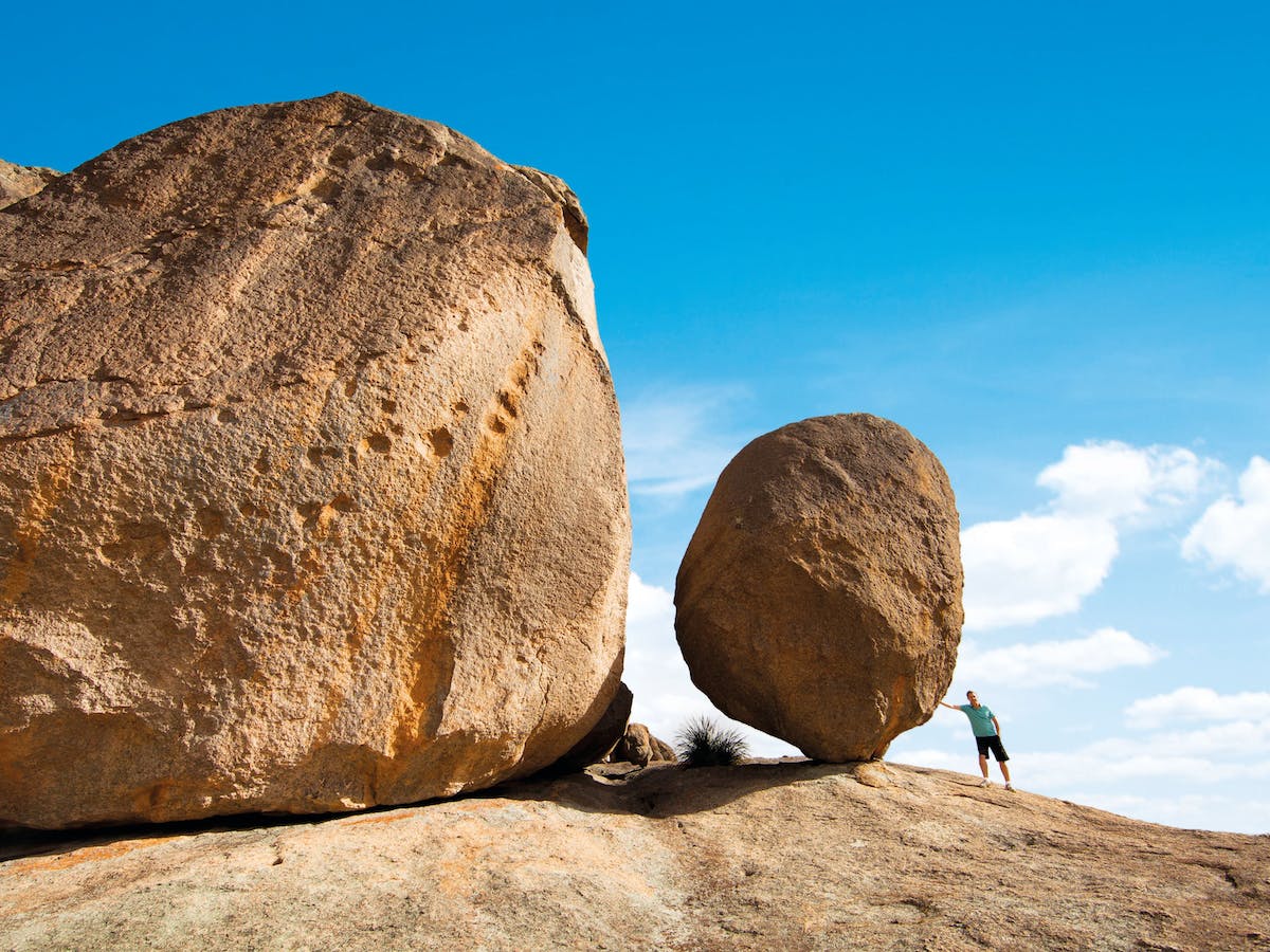
Balancing Rock is a ten-tonne, 7.5-metre-high, 6-metre-wide boulder balancing on a base of only 1 metre!
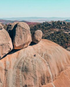
It’s a granite rock, like the countless others that make up the granite landscapes of this National Park and also the rocks dotted characteristically across of the whole Granite Belt countryside that surrounds. Some describe Girraween National Park akin to a giant’s playground, as it appears as though the massive granite boulders have been placed and balanced atop each other just for fun! Balancing Rock itself sits nearby to a cluster of other giant granite boulders, all on the summit of what is itself a massive granite formation.
Where to Find It
Girraween National Park is just north of the Queensland – New South Wales border.
To reach the park, turn off the New England Highway 26km south of Stanthorpe or 30km north of Tenterfield. The winding bitumen road continues a further 9km east through the Wyberba Valley to the park information centre.
256kms Brisbane to Girraween National Park
275kms Gold Coast to Girraween National Park
180kms Toowoomba to Girraween National Park
About the Hike… and Scramble
Balancing Rock sits on the top of the ‘First Pyramid’ in Girraween National Park, along the hiking trail named ‘The Pyramid’.
Distance: 3.6km
Time: 1.5 to 2 hours return
View: Girraween National Park Map
The hike is better described as a hike and scramble, as it begins with an easy walk and ends in a challenging and steep scramble to the top.
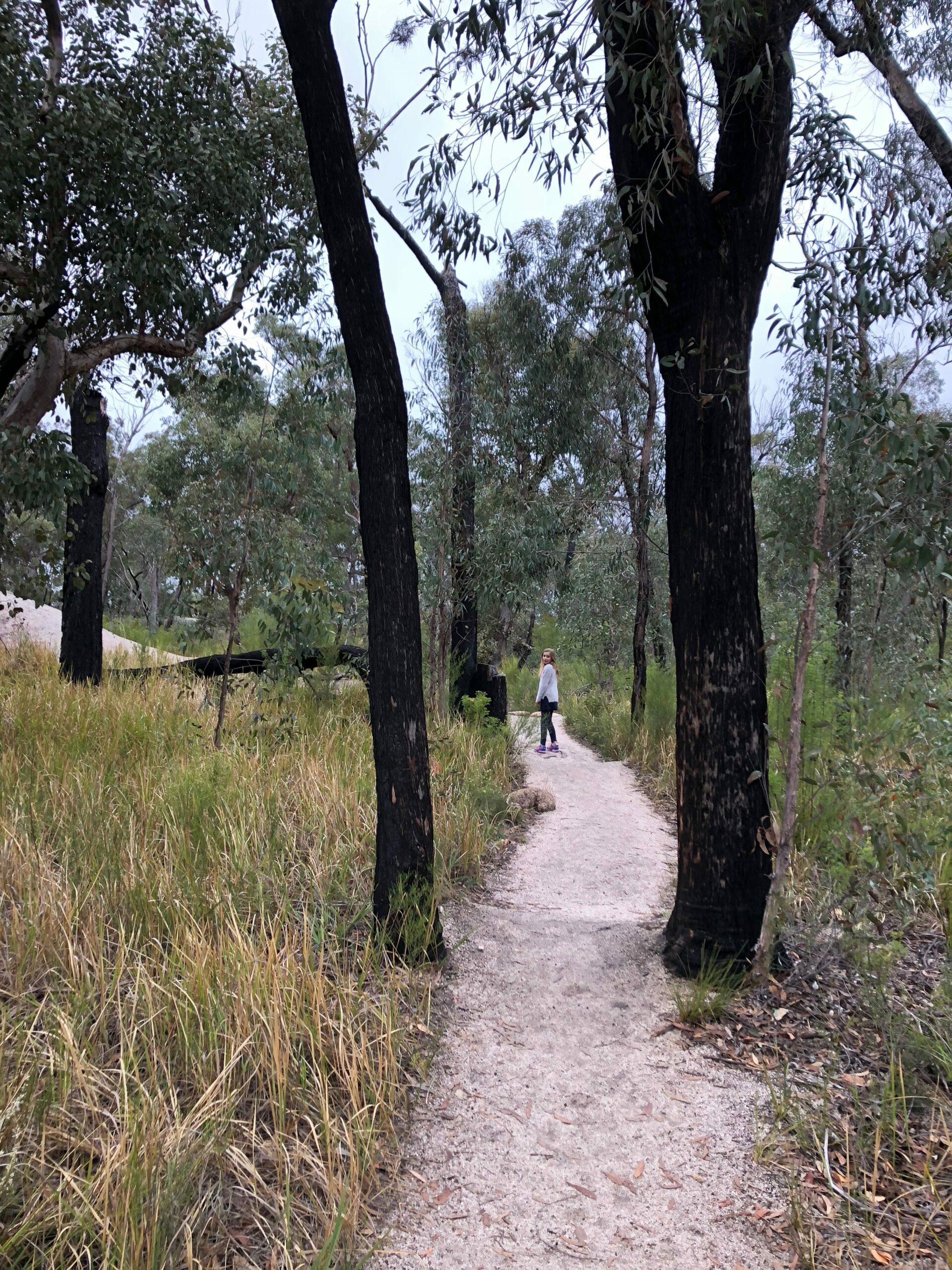
The hike begins from the day use picnic area, following the signposted trail to ‘The Pyramid’. The trail first crosses Bald Rock Creek on a concrete bridge, along the same track as the ‘Granite Arch’. The trail then continues to base of The Pyramid, along the way weaving steadily uphill through eucalypt forests, past rocky outcrops and grassy flats.
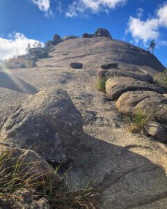
From the base of the massive granite dome the track becomes more challenging and steep. There is a fissure/crevice that runs a lot of the way up, offering some hand grips, but then there are more challenging sections of exposed granite with nothing to hold. The trail to the top is marked well with white markers.
The return journey is the same track, but it’s a great idea to follow the short detour loop along the ‘Granite Arch’ trail, for another spectacular granite formation.
How Difficult is the Climb to the Top?
A good level of fitness is required to climb The Pyramid because the steep, exposed rock face can be tiring.
Those who are wary of heights should know that the climb may not be for them (described as scary by some)… yet those who conquer the climb describe it exhilarating and the rewards at the top are worth the challenge!
The most challenging parts are usually the last scramble to the very top and surprisingly the descent as the steep bare parts without hand-holds are a little daunting.
People of all ages do the climb, but if you do the climb with children definitely supervise them closely. Whether the climb is suitable to your children is completely up to individual, as some who do the climb say their kids as young as 5yrs enjoyed it, while others have said the climb wasn’t suitable for their young kids. If you intend to climb with younger kids, some say it’s a good idea to have one adult per younger child, so that you’re not left holding two children’s hands in the tricky parts with no hand left to steady yourself.
However you find the climb, reaching the top is unbelievable and worth the challenge. There is lots to stop and see at the top, so plenty of time to catch your breath.
What’s at the Top?
Balancing Rock sits on the northern side of the summit and its here you can get the obligatory photo of you ‘holding up the rock’… because have you really been there if you don’t have a picture of you holding up Balancing Rock, hahaha!
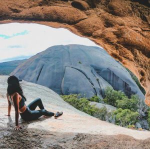
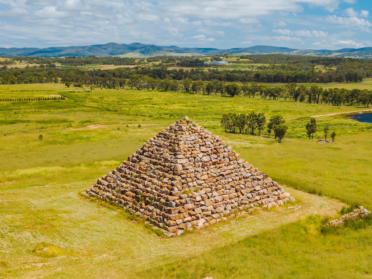
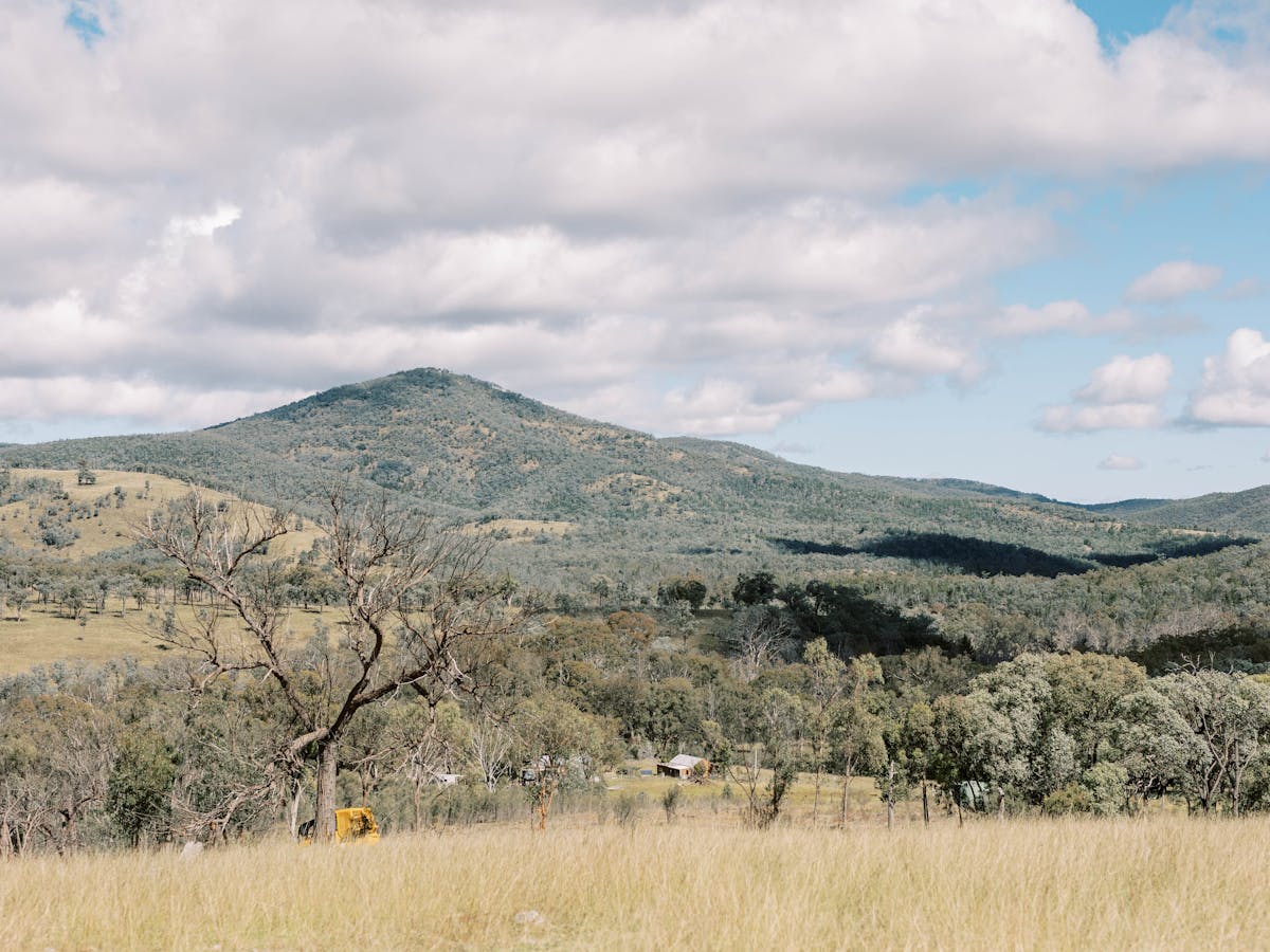
But it’s not the the only sight be be excited about at the top, because there are views of pretty much everything else in the National Park – Castle Rock, The Sphinx, Mt Norman and even to Bald Rock in NSW.
The view of the Second Pyramid (pictured here) is an incredible sight.
(P.S. There is no walking track to the Second Pyramid and considerable rock climbing experience is necessary to scale it.)
When to do the Climb & What to Bring
People climb ‘The Pyramid’ every day of the year and there is beauty in all seasons. Enjoy the best of spring flowers along the walking trails in September/October, or the crisp cool of winter days for hiking the National Parks longer trails.
But there are a few times that are best to avoid. If it’s wet, or looking like possible rain, it’s definitely not the right day for your climb, as Girraween’s granite can become very slippery when wet.
In summer months, it’s best to avoid the middle, hottest part of the day for your climb, as the climb up the rock face is very exposed and difficult in the heat. But summer is still a great time to visit, just plan to do the climb early morning or late afternoon.
Bring with you
• Shoes with good grip
• Water bottle
• Hat and sunscreen
• Camera
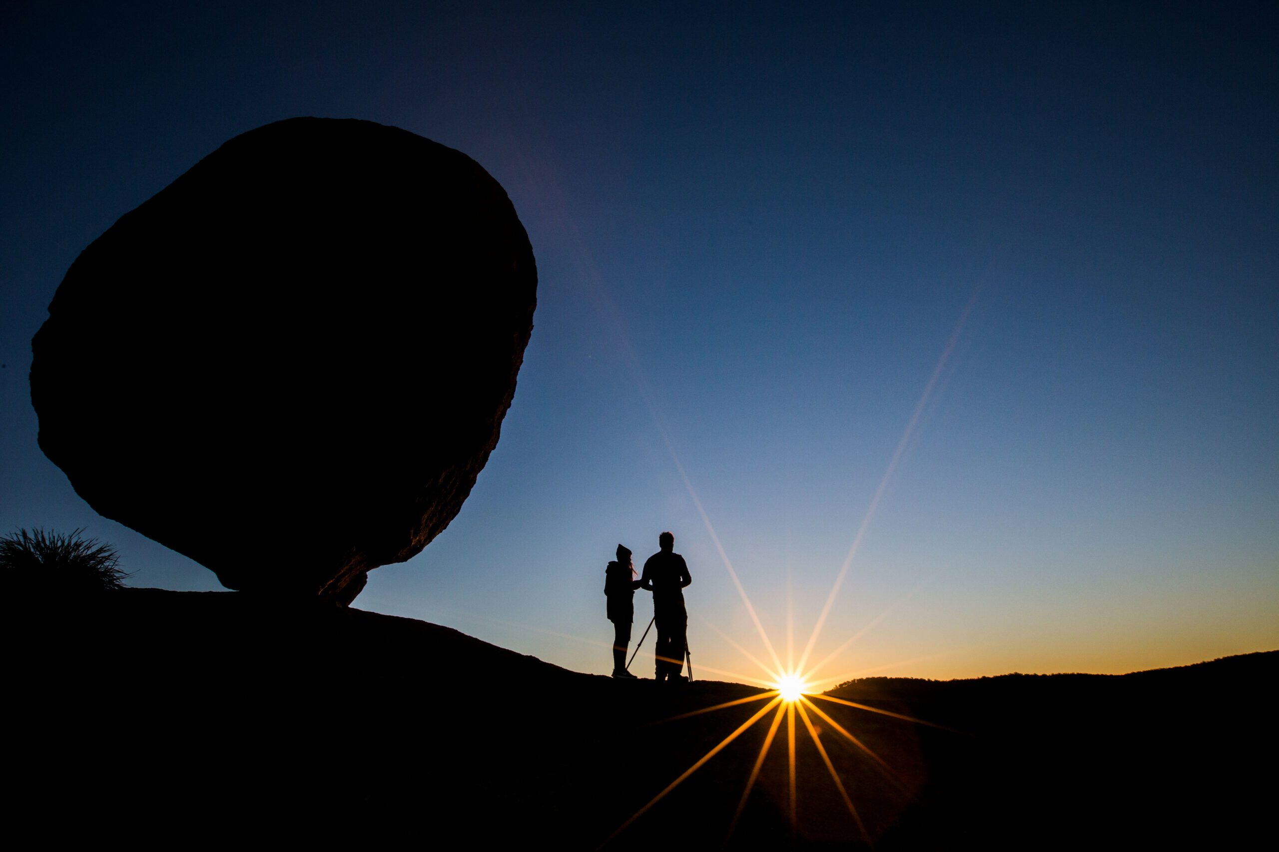
Balancing Rock at Sunrise and Sunset
There is no doubt that the summit of the First Pyramid is a photographer’s dream at sunrise and sunset. The joys of photographing this time of the day however need to be balanced against the risk of the ascending or descending in the dark. It certainly can be done though, with a good torch and grippy shoes, but be aware that on dewey mornings the climb could be more slippery and dangerous.
Bob Simpson Landscape Photography offers some great advice for photography in Girraween National Park.
The Granite Arch
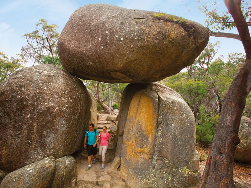
The Granite Arch is located on a short detour walk enroute to The Pyramid. Choose to follow the marked detour to the Granite Arch either on your way up The Pyramid or on your way back, because it’s well worth the short extra walk to see this incredible granite formation! The walk to the Granite Arch is very easy and if you’re travelling with family who are less up for the challenging climb to The Pyramid, they can join you on this easier leg of the journey.
More to See in the National Park
Here’s our guide to Girraween National Park.
View the National Park Guide.
Updates to these park alerts can be found here: https://parks.des.qld.gov.au/parks/girraween/
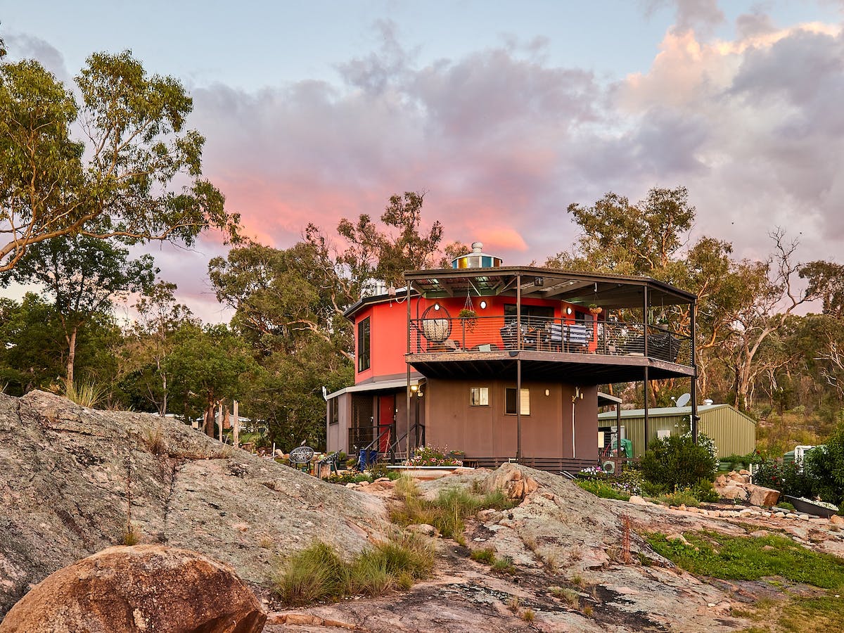
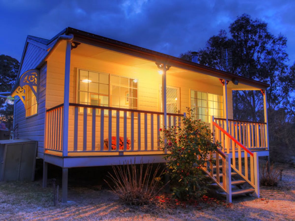
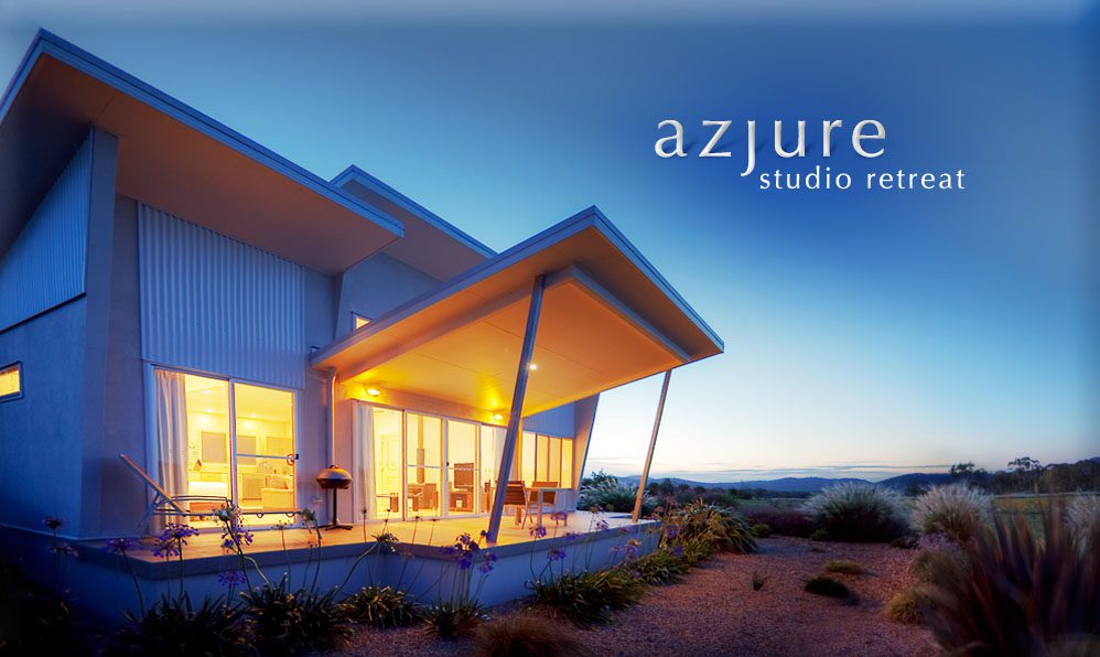
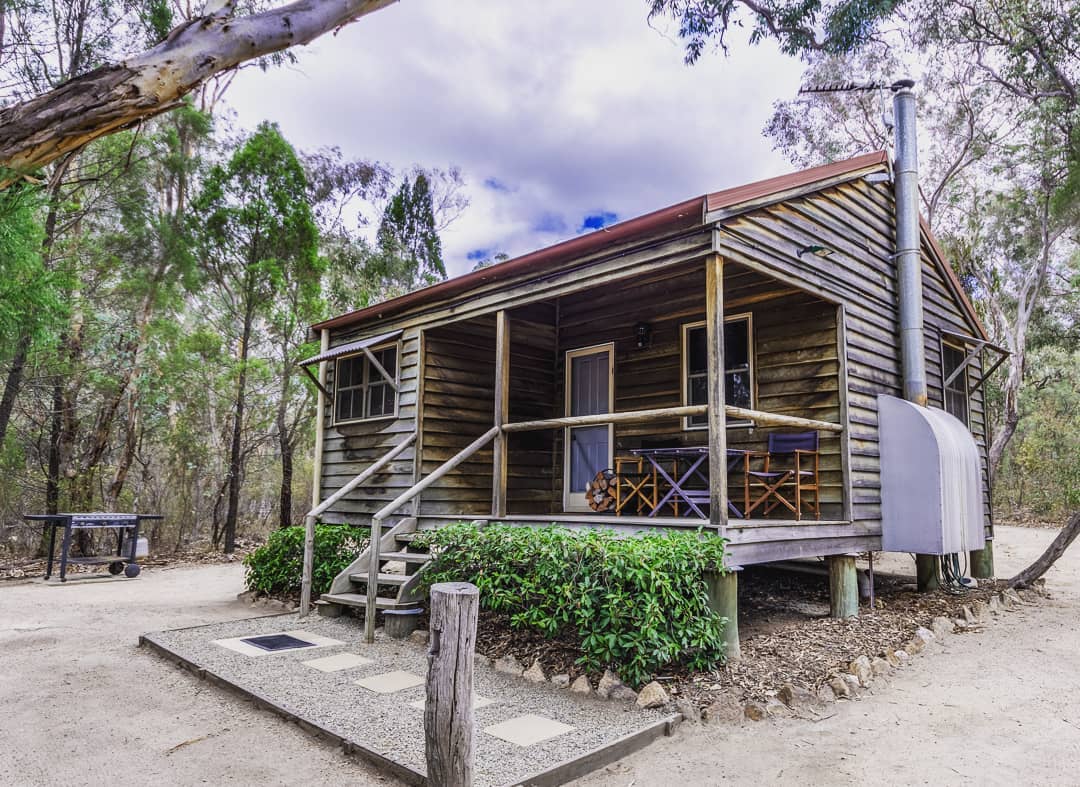
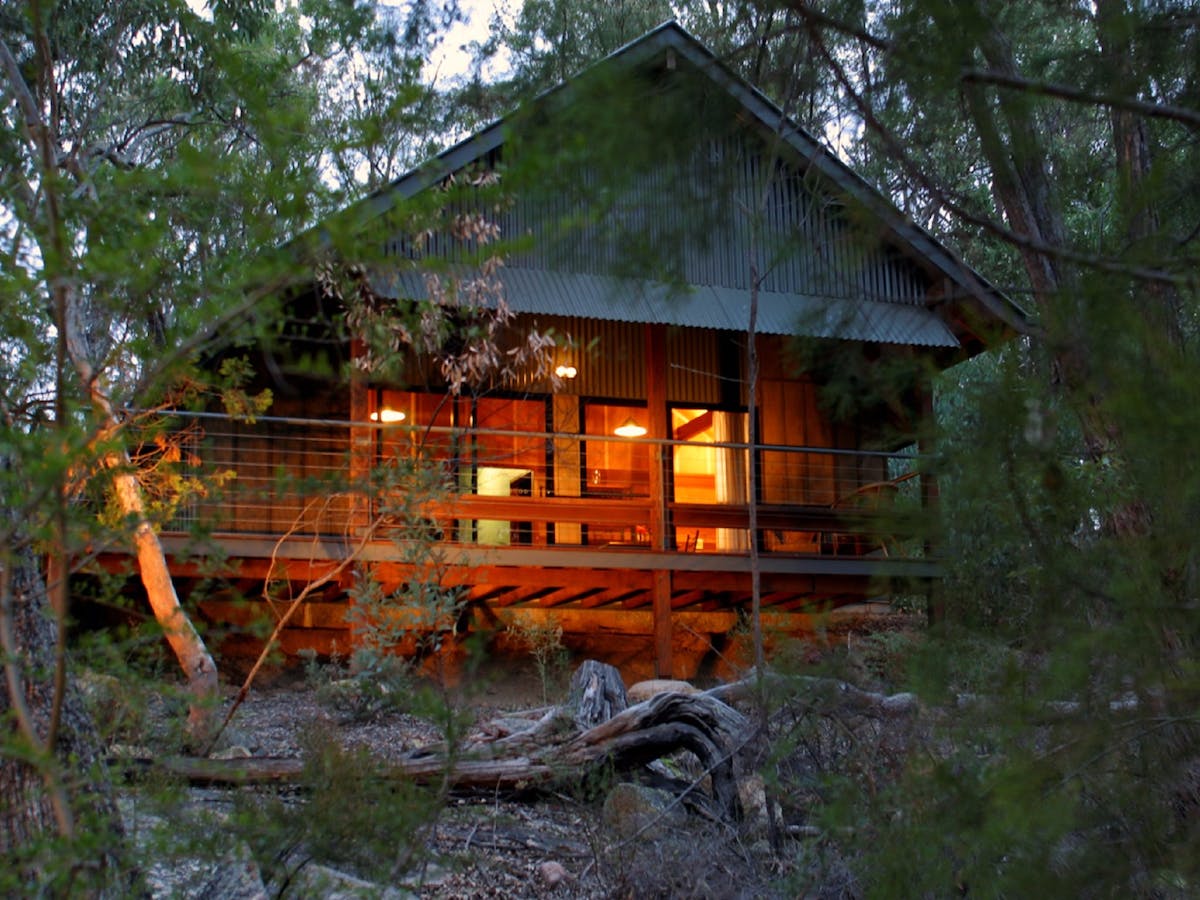
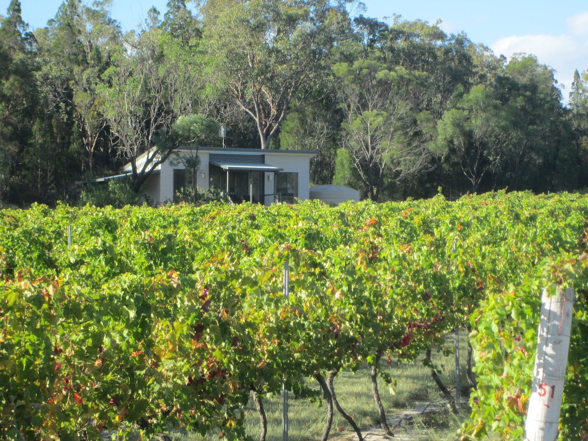
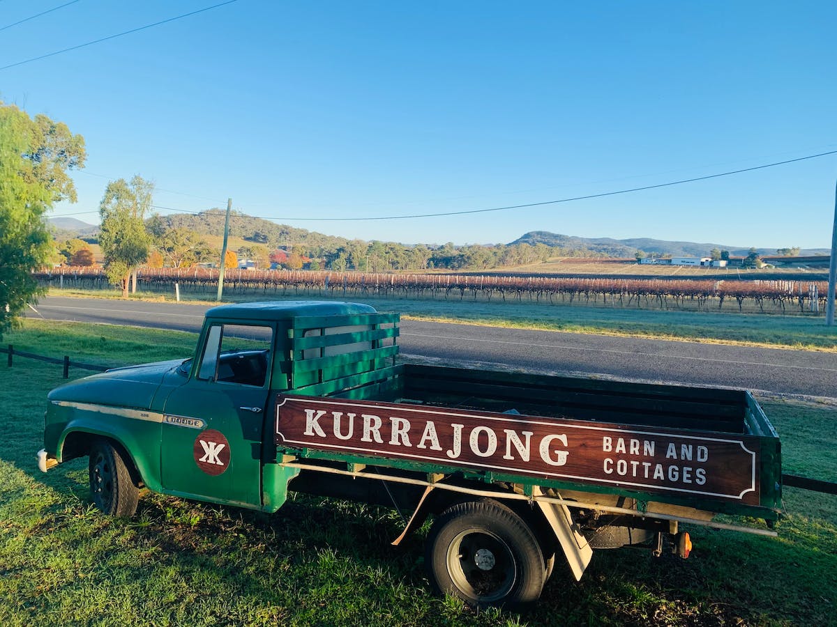
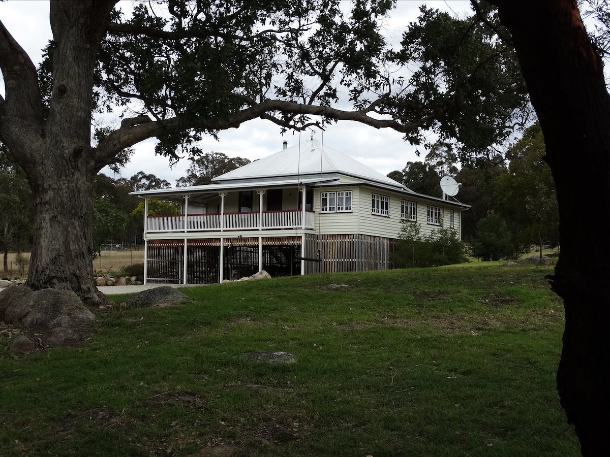
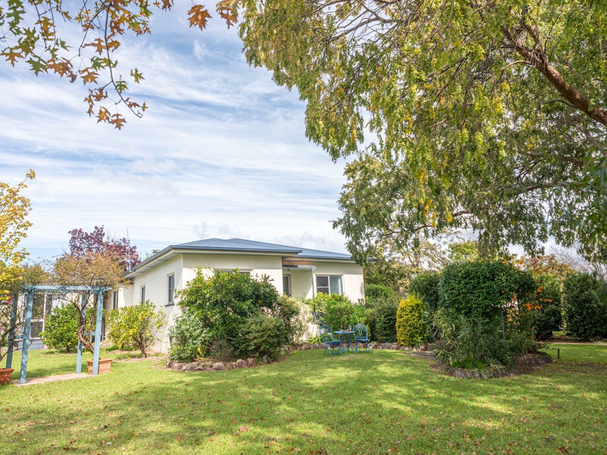
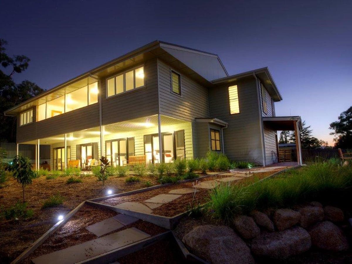
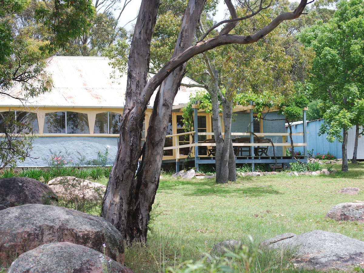
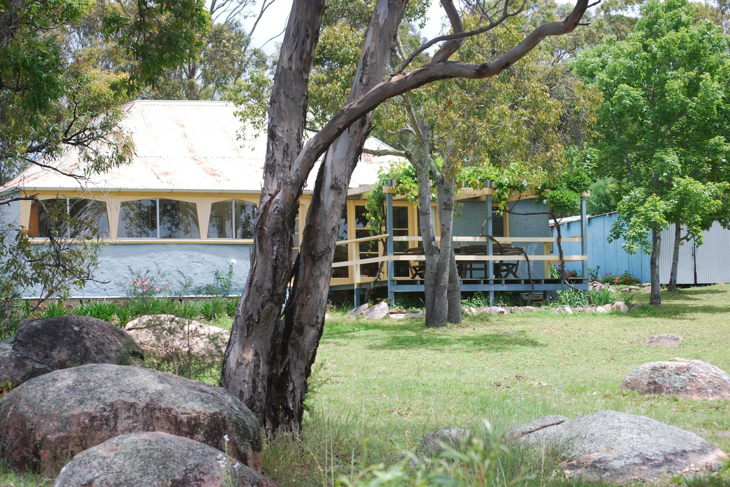
WHAT’S NEARBY? (STAY, DINE & SEE)
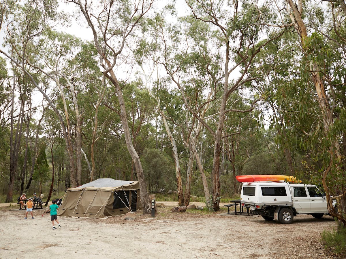
Girraween National Park does have campgrounds onsite. For information and updates on availability of camping in the Park visit this camping information page.
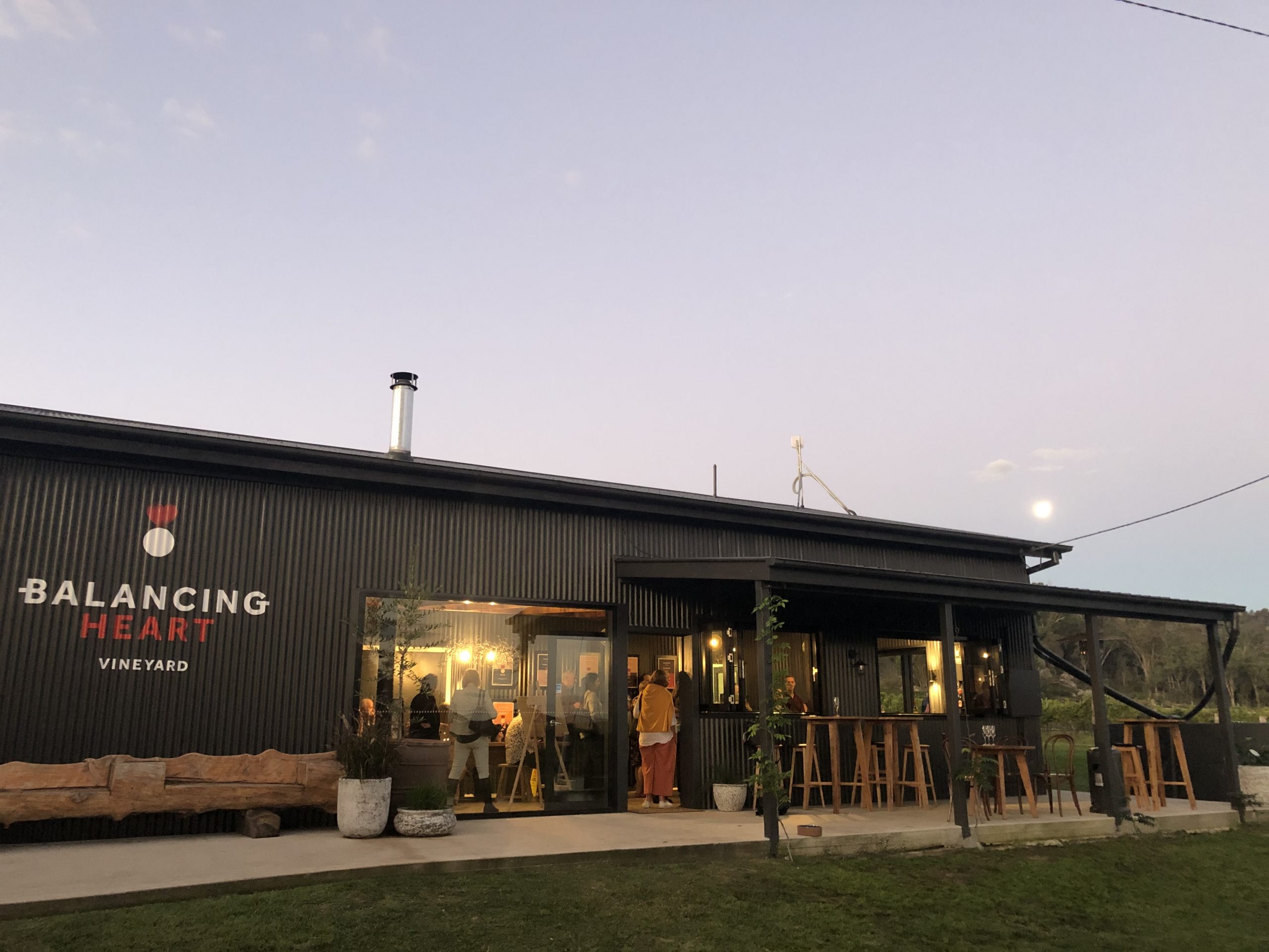
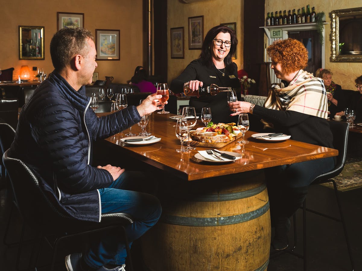
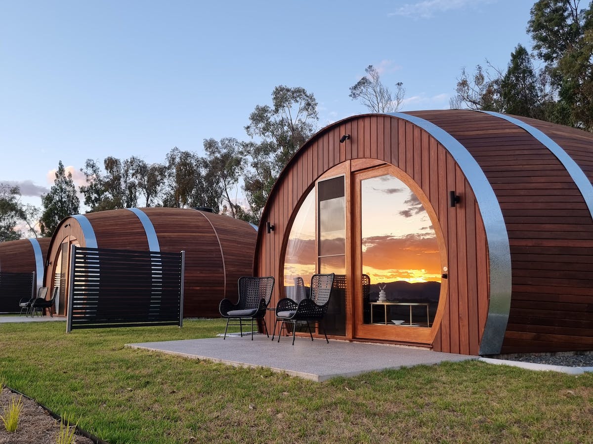
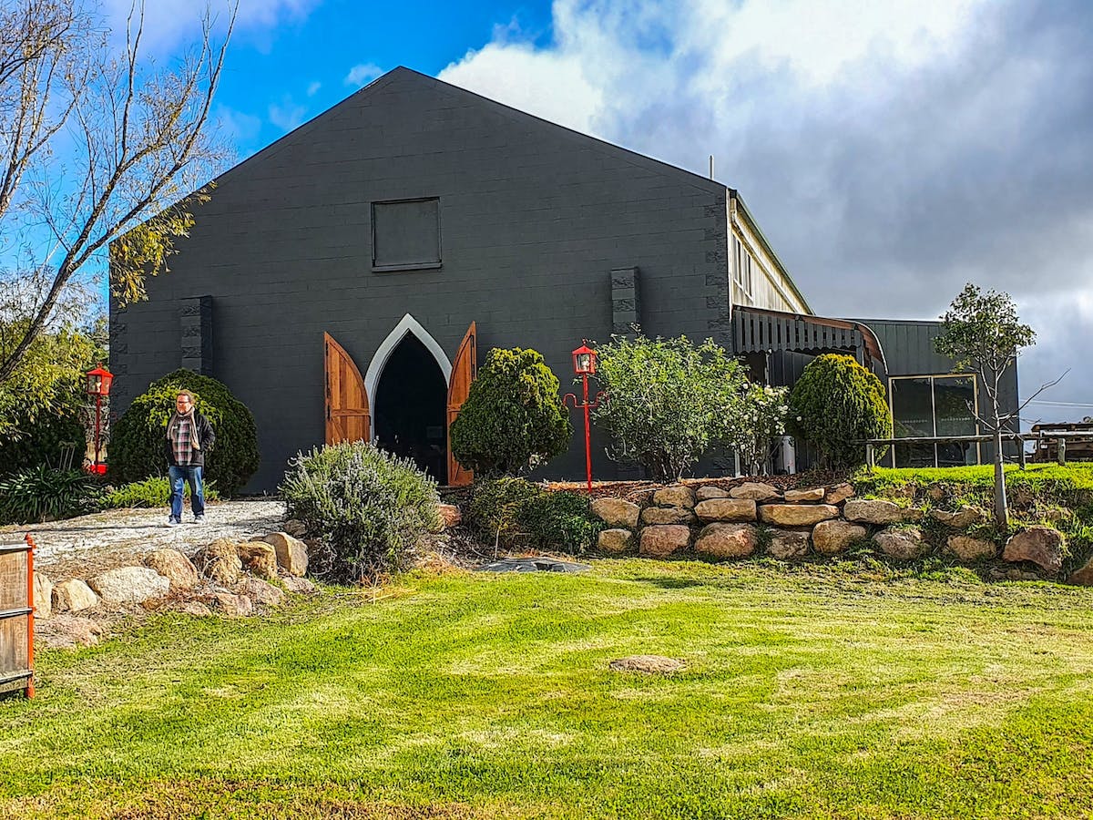
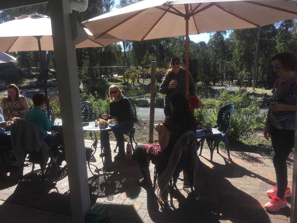
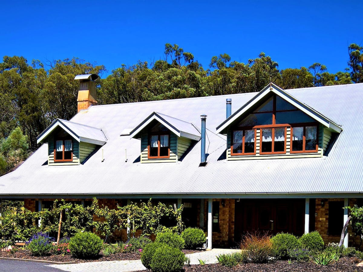
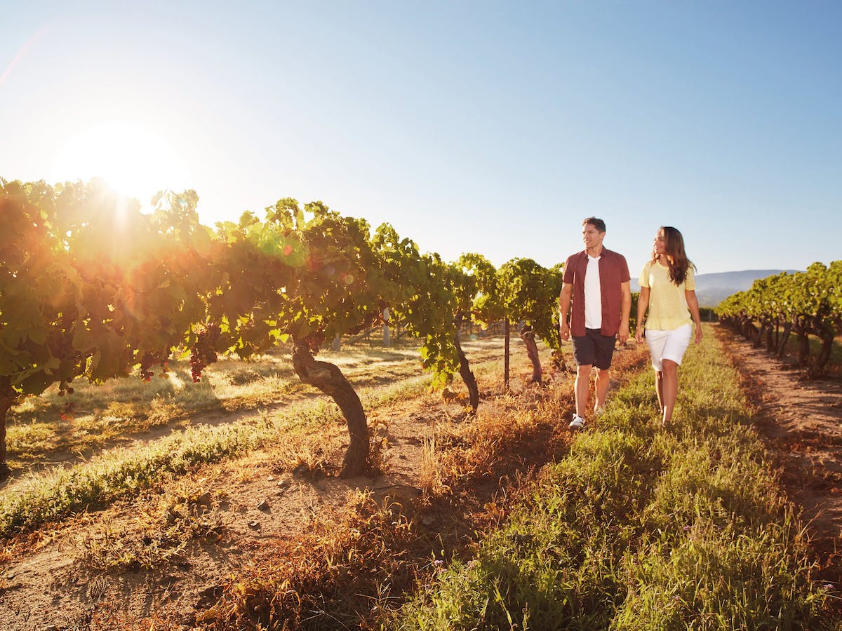
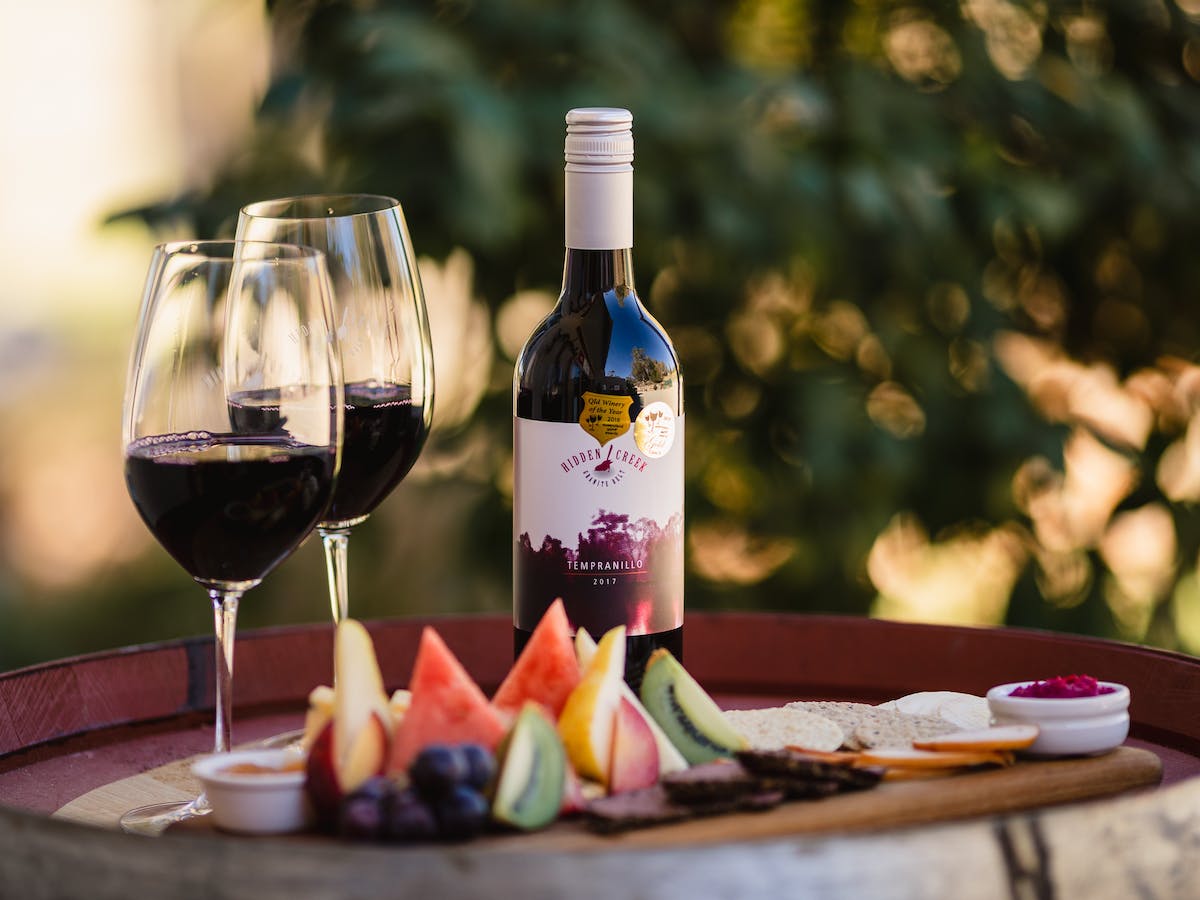
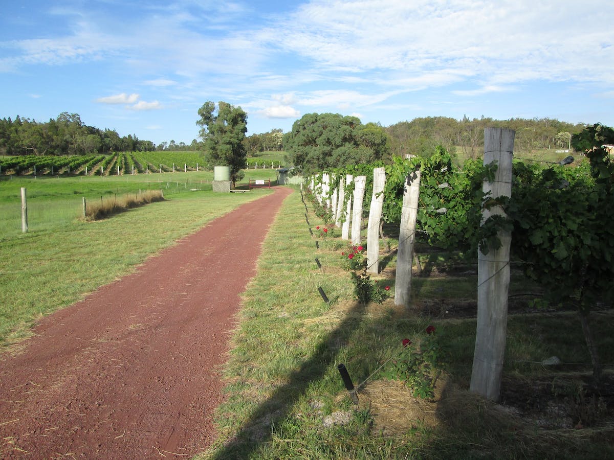
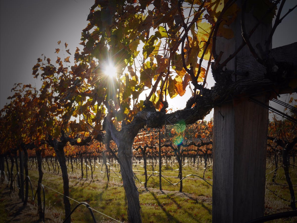
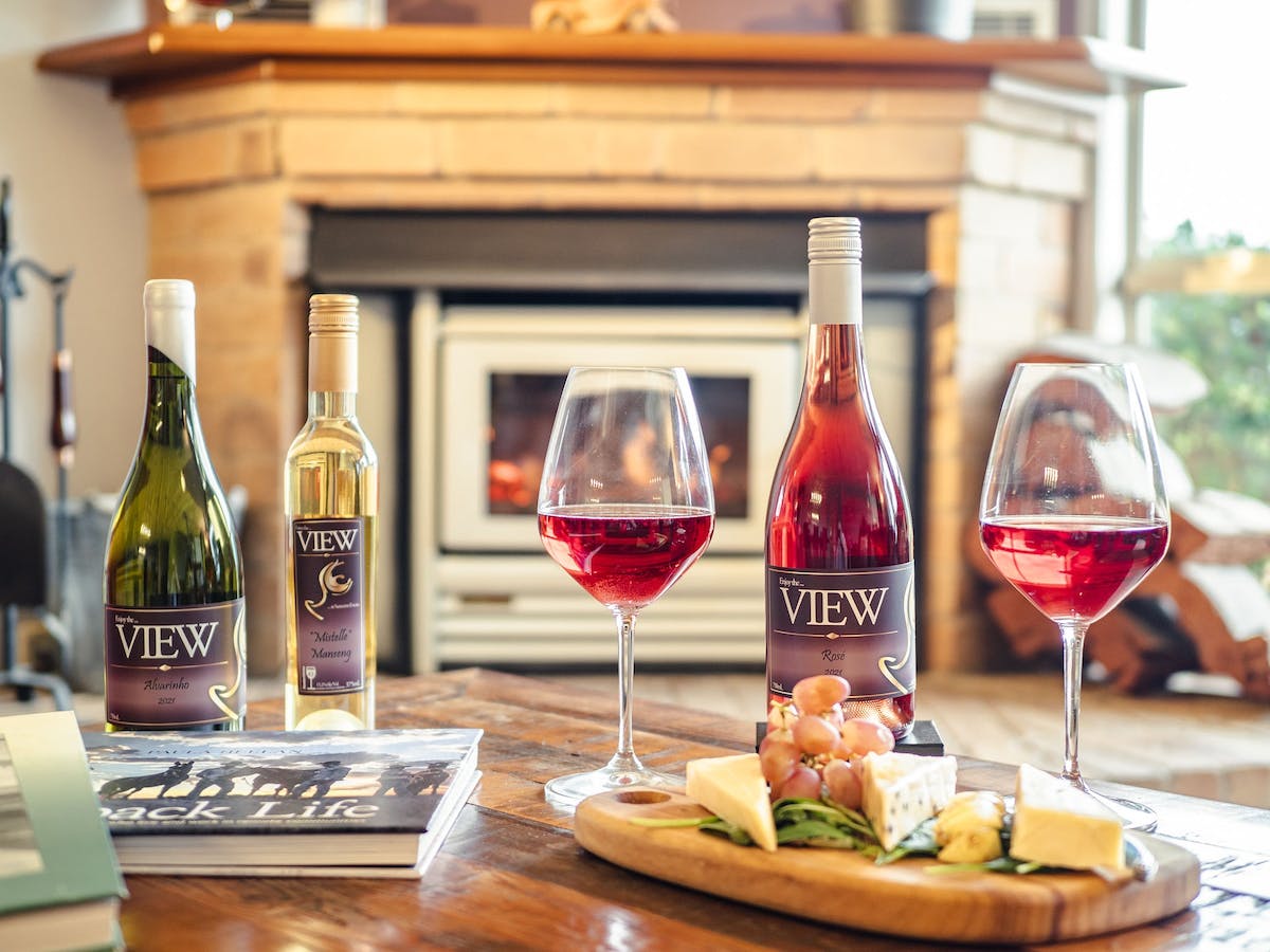
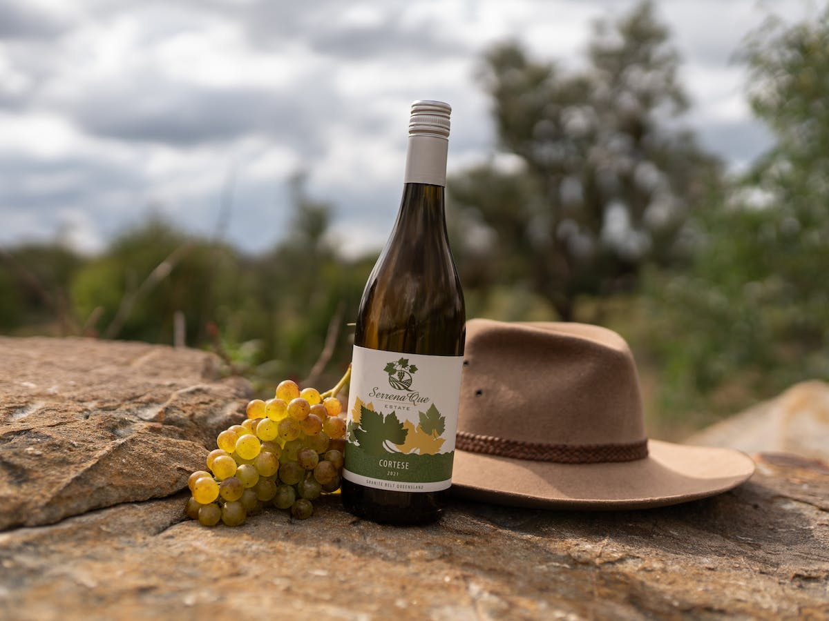
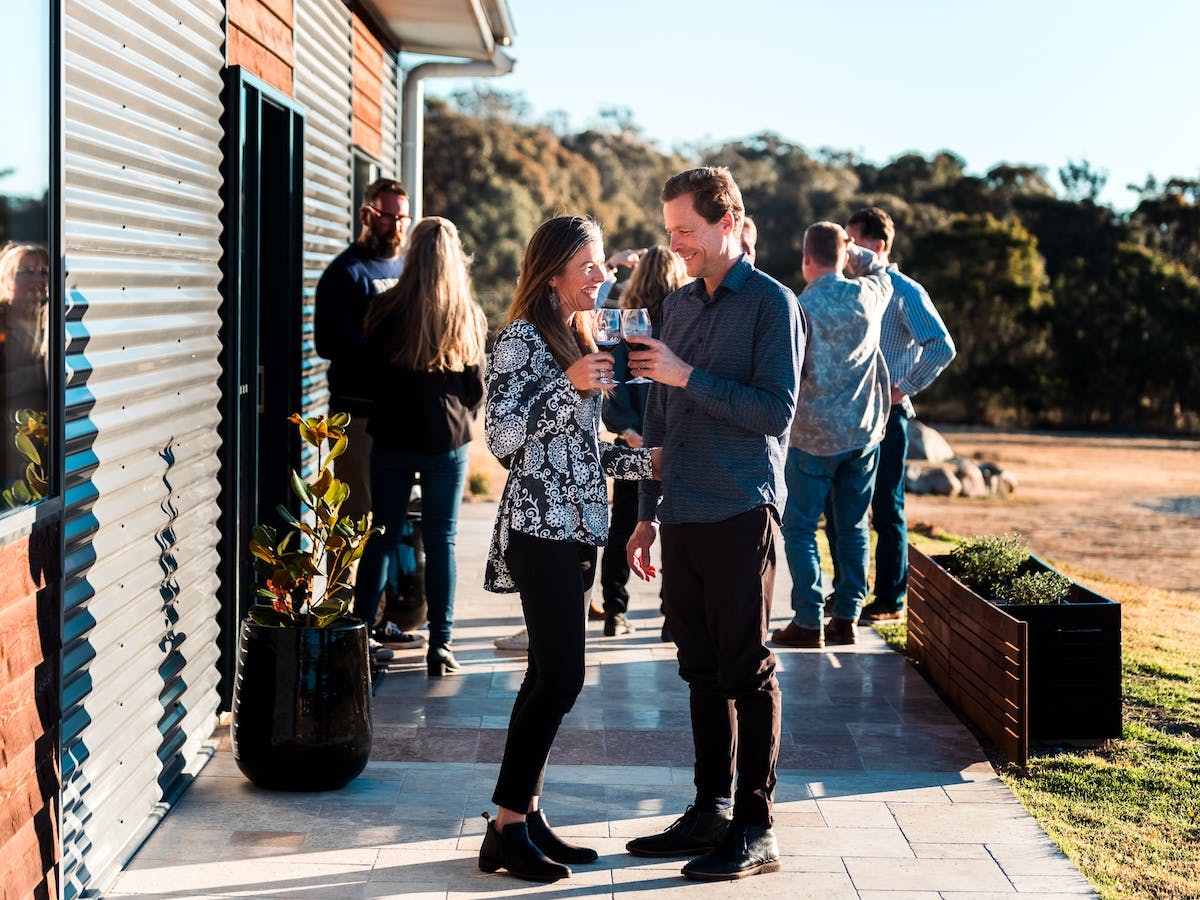
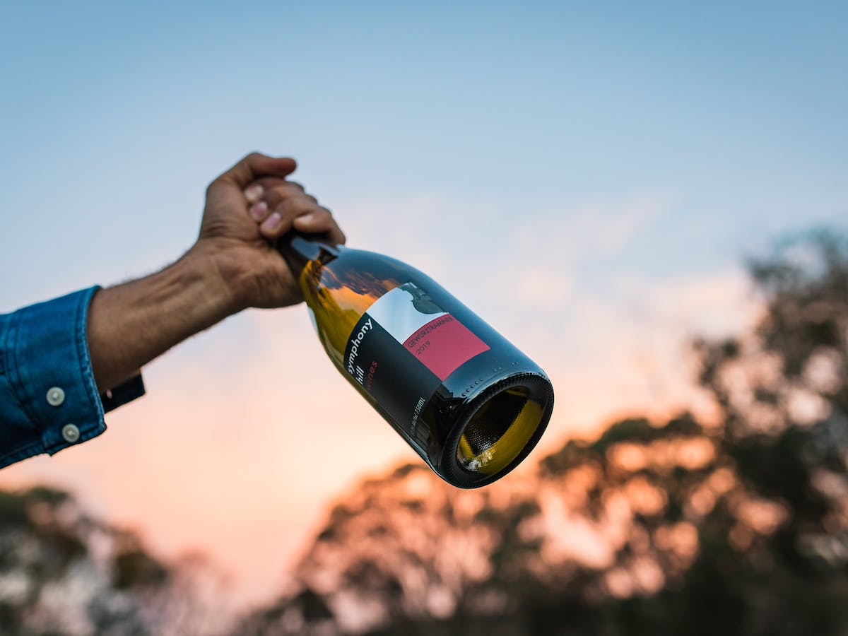
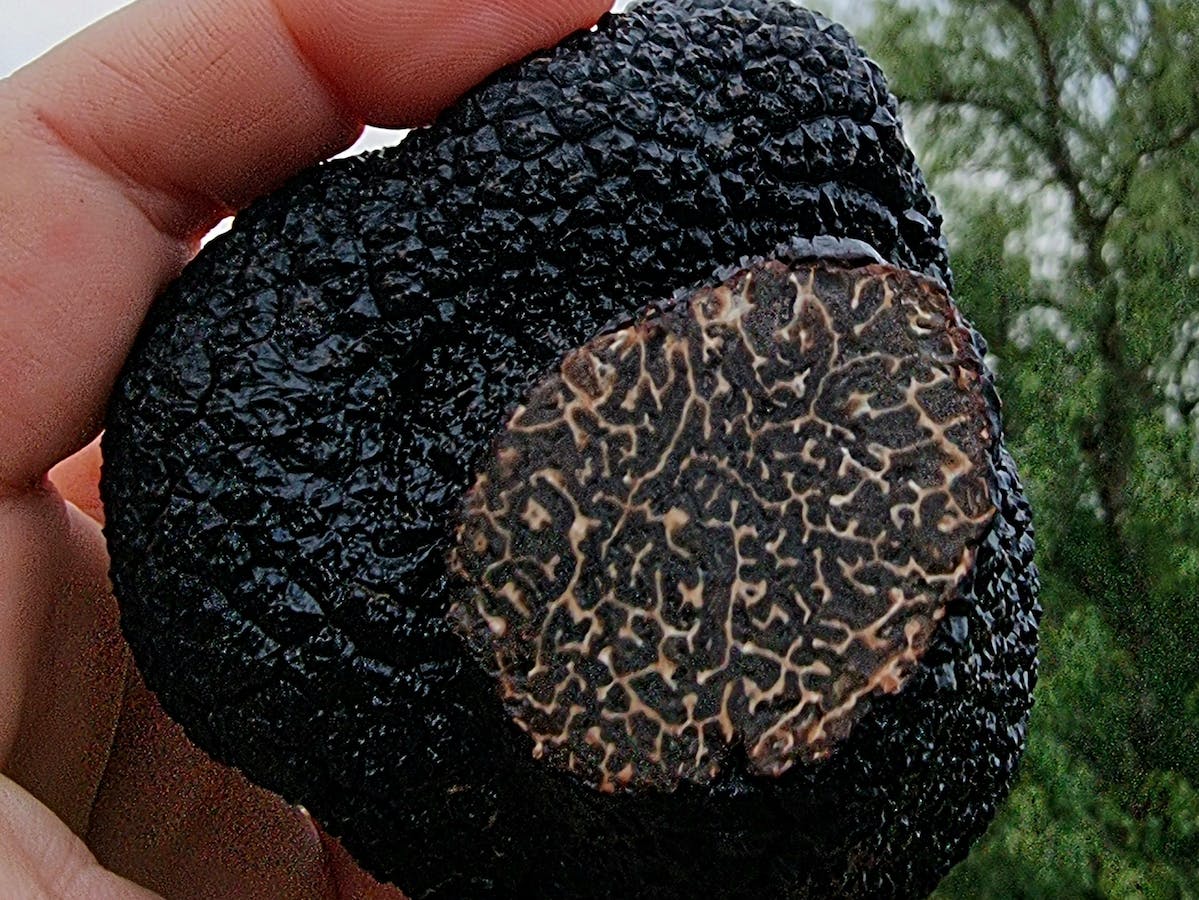
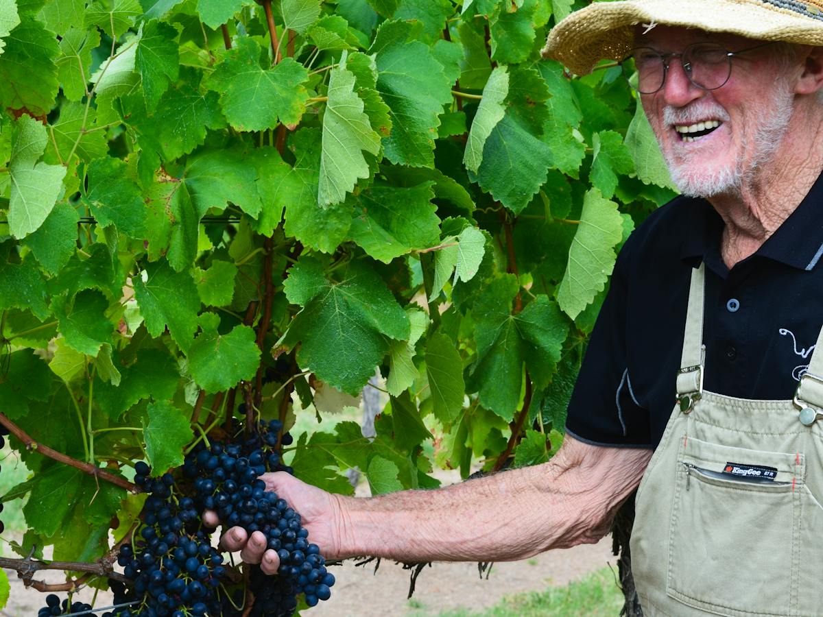

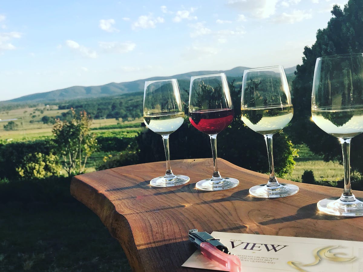
Dozens of Cellar Doors Nearby
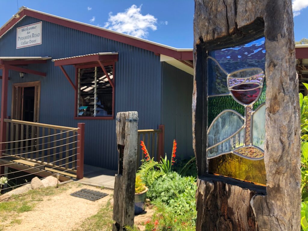
After your hiking adventures, reward yourself with a leisurely visit to some of the many cellar doors, with about 40 littered across the Granite Belt Wine Country. The nearest to Girraween National Park are Pyramids Road Wines (open 7 days) located on the access road in to the National Park. Also nearby are Balancing Heart Vineyard with dining (open 7 Days) and Girraween Estate (open weekends and all public and Qld school holidays).